Manikaran Pin Parvati Pass Pin Valley

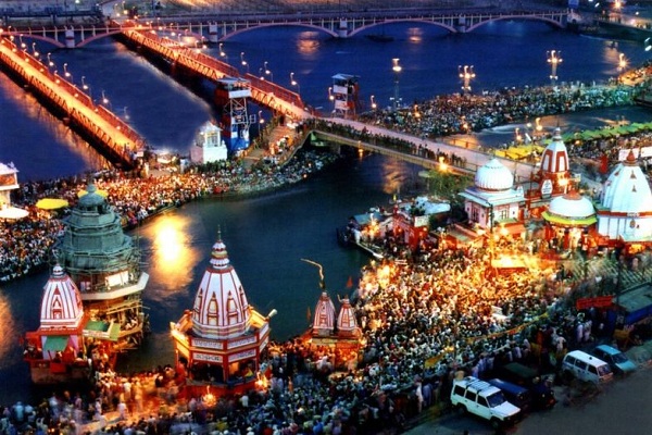
In the sylvan surroundings of the Manikaran region it is believed that Lord Shiva, angry at a domestic squabble, went off into the fields and there under the cool shade of a tall cannabis plant, he suddenly experienced comfort and bliss. He ate some of its leaves and impressed, endorsed the plant. He came to be regarded as the Lord of Bhanng (marijuana). Manikaran, famous for its medicinal hot springs, is a temple town built around a Gurudwara and a Hindu shrine. First, reach Bhunter on the Kullu road by air or by road.

Duration: Maximum - 11 Days
Trekking Season : May to early July and again from September to end-November (or late if there is no fresh snow over the Pin-Parbati Pass). The Dushera Festival in Kullu in October is worth attending.

ITINERARY

Day 01 :

  • Leave early for Manikaran. Driving up the Parbati valley (named after Lord's Shiva's consort), you reach the temple town in two hours. After spending few time the houses of worship, and arranging porters, leave for Pulga village, a four and a half hour walk from Manikaran. Afte another two hours, the trail crosses the river on a sturdy wooden bridge to traverse the mountainside. Crossing two side streams, climb steeply through oak forests and fields to reach the Pulga village (9,154ft/2,791m). An old rest house in classic British mould is an innovating for the night. After this, Village temple sightseeing.

  • Day 02 :

  • Descend through the village and traverse the mountain for ninety minutes. The valley narrows down and the trail goes through a dense forest to lead to a river crossing via a high bridge. Moving up the right bank after a ten-minute climb, the trail crosses the torrenial Tos Nala joining the Parbati river. After a thirty minute traverse you reach Nakthena, the last village on the route. Walking through fields of hashish you reach Rudrang, an open patch in the forest overlooking a pretty waterfall. Under an overhang, there is a small shrine of Lord Shiva. Immediately after Rudrang, the trail crosses thje Parbati back to the left bank over another stunning bridge.
  • Day 03 :

  • The third day, it will move through a forest of rhododendrons, fir and birch for the first hour. Then you reach open pastures. After the third bridge, a forty-five-minute walk leads to the campsite at Tundah Bhuj (10,516 ft/3,205m) on a steep-sided meadow.

  • Day 04 :

  • After camp at Tunda Bhuj, the trail becomes tricky as it descends via a narrow and slippery path to the valley floor. You climb on to a cliff using your hands for support. Nature rewards you again as the valley opens up and the trail approaches a meadow bedecked with wild flowers. Almost prancing through the meadow for an hour, reach the campsite at Thakur Kuan (19,076 ft/5,4814m) at a bend in the valley. Overlooking the camp, the Dibi Bokri river dashes out through a narrow gorge; Kullu Eiger keeps soaring triumphantly towards the sky and, for the first time, you catch the Parbati in a serene mood as it meanders past the campsite. Heaven on earth.

  • Day 05 :

  • Fifth day for Pandav Pul its two hour trekking from Tunda Bhuj. The campsite is two hundred feet above the river on the Bakar Bihar Thach (12,517ft/3,815m).

  • Day 06 :

  • A gentle walk on flat ground, then a stream you have to cross by hopping over boulders, and you are standing just below the towering massif of Kullu Eiger. The trail continues its moderate climb staying close to the soft flow of the Parbati, going past a few shepherds encampments. An hour-long ascent takes you away from the Gaddi shepherds to climb over the debris of a moraine descending from a side glacier to finally reach the Mantalai Lake (13,367ft/4,074m). The lake has been formed by the glacial moraine. Walking around the lakefor half an hour, you reach the campsite on a grassy patch.

  • Day 07 :

  • For the seventh day trekking tour, trail climbs up on the third and after a steady climb of three hours, past small ice pools, you reach a steep rocky patch with large sections of snow. Get a good view of the summits of Parbati South (19,049 ft/5,806 m.), Pyramid (20,105 ft/6,128 m).

  • Day 08 :

  • Start early and climb for an hour over a steep moraine. Keeping to the glacier's left, reach a flat plateau with a dramatic hanging glacier in front. The trail climbs between the glacier and a rock face for another hour to take you to a snow field with a gradual incline. Veer slightly to the left of this heavily crevassed snow field to reach its high point. Following it steeply down for another two hours on its left bank, you reach the campsite of Dhumadhar (15,765 ft.) at the confluence of the Pin with a side stream.

  • Day 09 :

  • The trail joins the path coming down from the tari Khango or Bhabha Pass that leads to Rampur Bushahr. Another forty five minutes beyond this confluence take you to the Wichkhurang (12,600ft.) campsite. A large part of the Pin Valley has been declared a national park. It supports a large population of ibex and blue sheep you can see there. The rare Tibetan Gazelle and wooly hare are found there. Himalayan Wolf are present, but extremely hard to sight.

  • Day 10 :

  • The trail descends steadily on typical rock and rubble till it reaches a big cairn. Thereafter, the situation improves, and a gentle descent takes you to a side stream. You wade across and the steep-sided valley starts widening. The mountain scenery around you is hallucinatingly colored: there are green, purple, and maroon hills.

  • Day 11 :

  • Sangam and Mikim villages can be seen. Walking next to the ledge for an hour, past Sangam, reach Parahio Nala. Drive to the confluence of Pin with Spiti. After crossing Atargo bridge across Spiti, you can take the left turn to go to Manali via Kaza and Kunjum and Rohtang Passes, or turn right to go to Shimla via Kinnaur and Bushahr.

  • Travel Tips and Important Views

    Getting There : You can easily reach there and options are: in the tourist season there could be several flights a day to Bhunter airport, a two hour drive from Manali. And easily by road can possible to reach Manali.

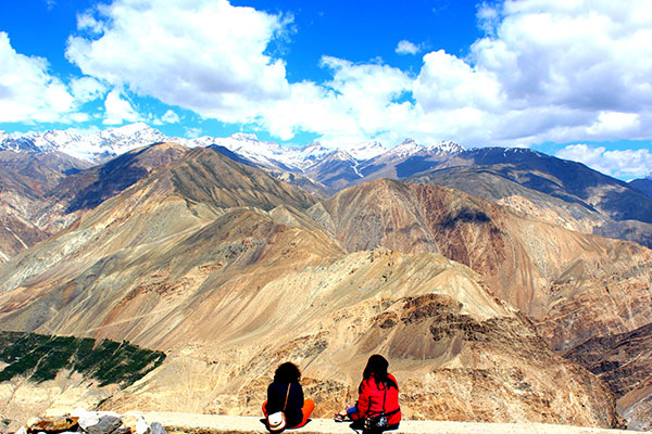
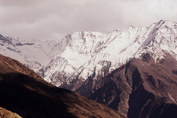
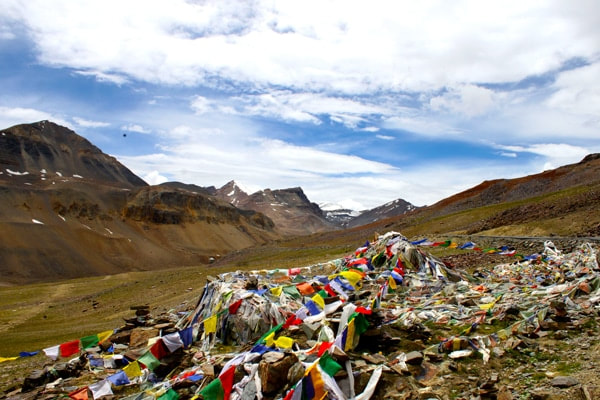
    Altitude : Manikaran at 5,600 ft. is the starting point and the highest altitude is at Pin-Parbati Pass, (17,452 ft/5,319m.), The highest camp is at (15,150ft/4,617m).

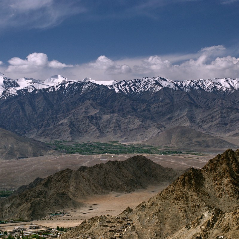
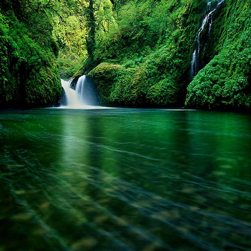
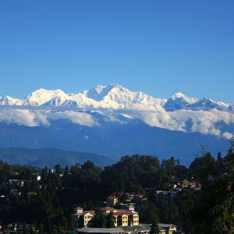
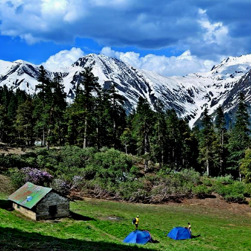
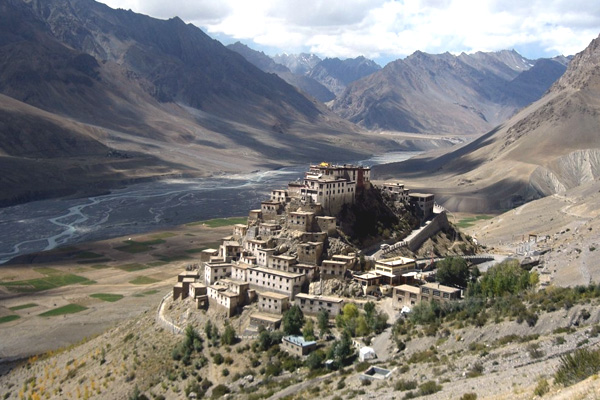
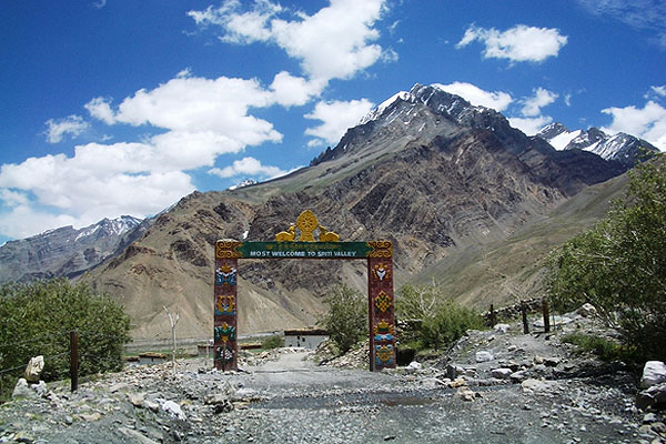
    Highlights of this trek : Pin Parbati Valley full of wild flowers, waterfalls and scenic campsites; the hot spring at Khir Ganga. Excellent views of the green Parbati Valley to the stark Pin Valley. And visit in monasteries of Spiti Valley.

    Medical Assistance & Emergency : Manali and Shimla are the last stops. The spiti valley is connected by phone but once on the trek, no medical or rescue facilities is available.

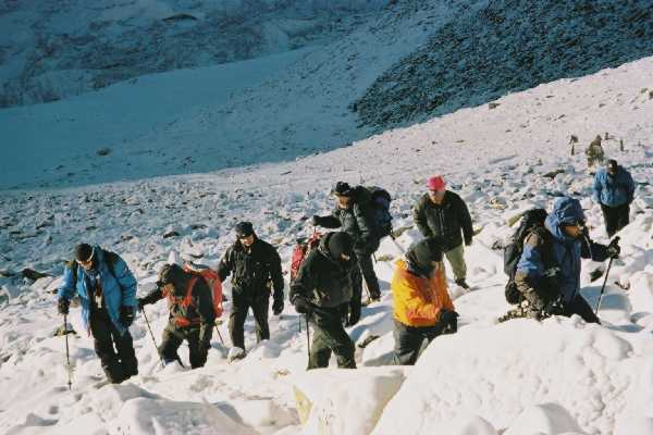
    Support Services on the Trek : Only porters can cross the Pin-Parbati Pass and these are available in Manikaran and in Pulga. Other camping services are available only in Manali. For the rest of the trek, one must be self-equipped.