Dharamshala Talang Pass Trek

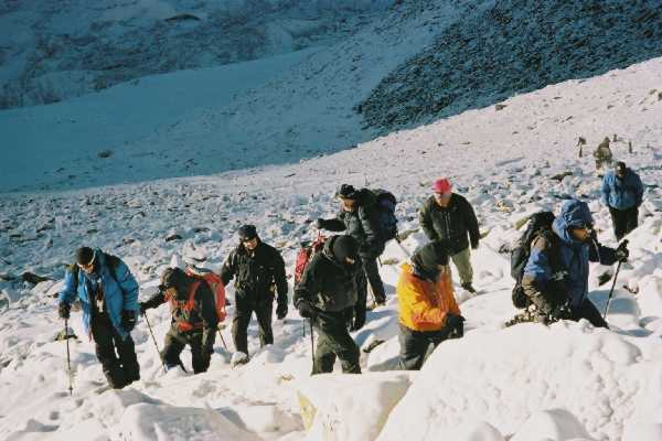
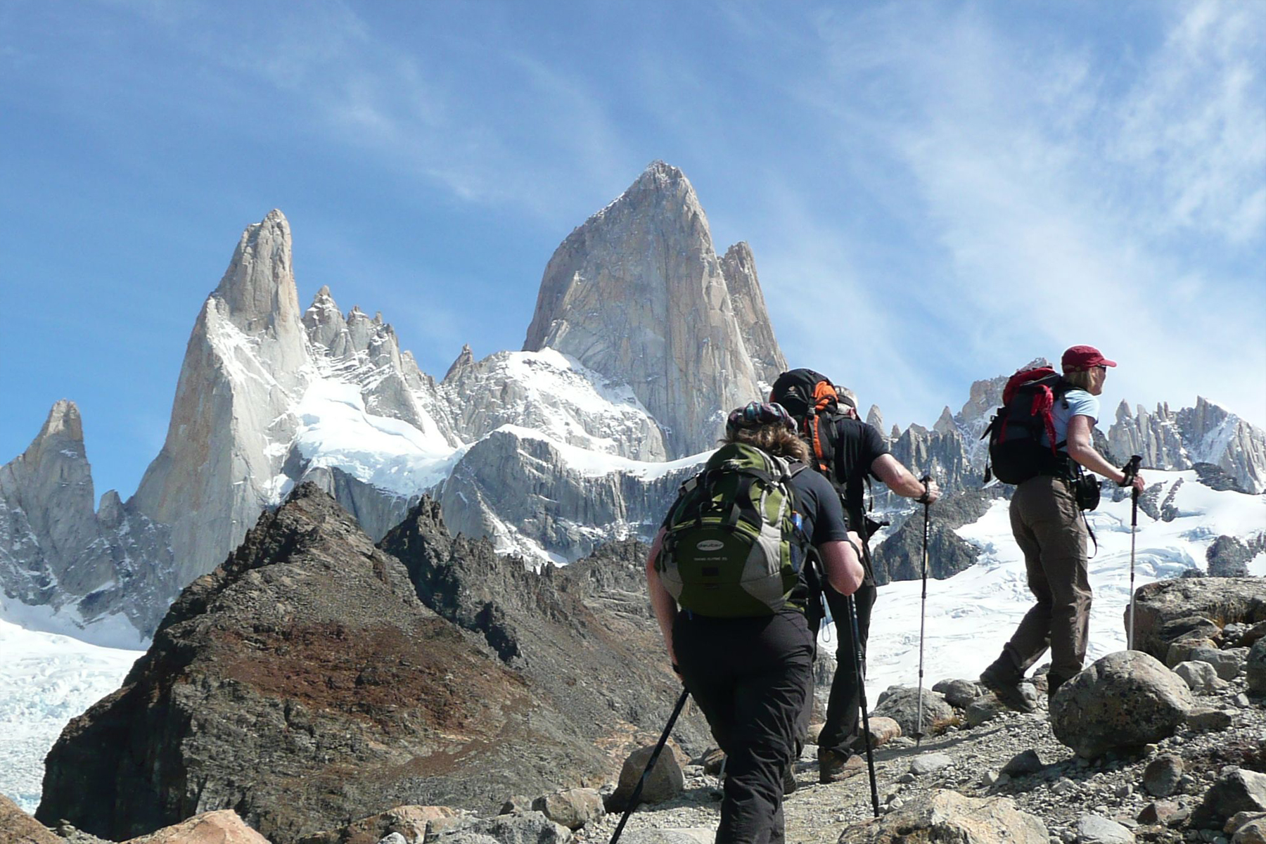
Darcha Padum Trek Zanskar is known as the Lost World, The forgotten Valley, The land where Fairies Congregate. A moral order built around a refined religious faith and a sound economy based on sustainable land-use patterns have created a fulfilling and comfortable lifestyle despite the harsh surroundings. The trail that goes up from Darcha in Lahaul to descend into the Zanskar valley is one route that typifies this.
Cross the pass (13,000ft / 3,962 m) on foot. Buses and taxis are available for the rest of the Journey. In September, early snows could make the crossing of the Shinkun La into Zanskar difficult. Also, the road into Padum over the Pensi La could get blocked.

Duration: 10 Days
All the treks of Chamba (Himachal Pradesh) is connected by 'our coach' with Delhi, Chandigarh, Jammu and Srinagar.
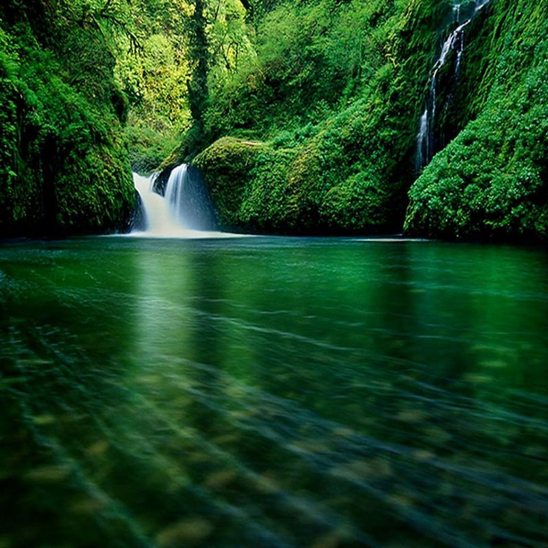
Best time to Visit: August to September.

ITINERARY

Day 01:

  • Dharamsala-Jia (1320m) Get off the Dharamsla-Palampur bus at Dadh (1285m). Continue along the main road E for 1.5 Km to cross a bridge, then a jeep able road branches left (North) to Jia village; porters and guides can be hired; camp beyond village beside a stream.

  • Day 02:

  • Jia-Supdhar (2450m) 16Km Ford the stream which is not deep; the trail climbs open slopes then traverses the slope through forest for about 3h, rising and falling several times. Then the track heads down to another stream and crosses it. From there steep climb of 3km. ensues to Supdhar camp ground. Here the valley opens out and Gujar herdsmen have a settlement on the meadows.
  • Day 03:

  • Supdhar-Rocks Shelter (3355m) 10Km - To the left, scramble up steeply over slopes and rocks for about 2Km. The trail then curves right and follow a ridge cres towards the pass. The track becomes steep, over rocks and boulders, and after another 6Km turns left towards a stream. There is a natural rock shelter on left side of the stream.

  • Day 04:

  • Rock shelter-Talang Pass-Oat (3600m) 16Km - A long, strenuous stage; cross the stream that rises from the slopes of the pass and follow the stream to its right. Rocky cliffs rise from the streambed and the Dharamsala Matterhorn (4798m) is seen on the left (N) with a sheer rockface of 1500m. The path ascend soggy ground, then rocks and snow lead to the pass, about 6Km from the rock shelter. Descend the N side over a snowfield and a small glacier, heading due N for about 10Km to a cave shelter called Oat.

  • Day 05:

  • Oat-Karha (2500m) 10km then green slopes covered with rhodendrons. Finally the path drops down to a saucer-shaped glen surrounded by high cliffs. This is the Karha camp ground, usually occupied by a few shepherds.

  • Day 06:

  • Karha-Holi (1980m) 18Km commence with a hard climb on a rockface where a sort of staircase has been made by the local people. From the top of the cliff the trail descends gently through meadows and pine forest to the typical Gaddi village of Majharan. Beyond the village turn right and, after descending a steep track, reach Holi on the bank of the Ravi river. This is a Accommodation in a Resthouse. To chama (72km), regular bus service via Kharamukh (48km).