Dharamshala Laka Pass Trek

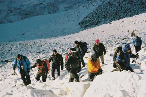
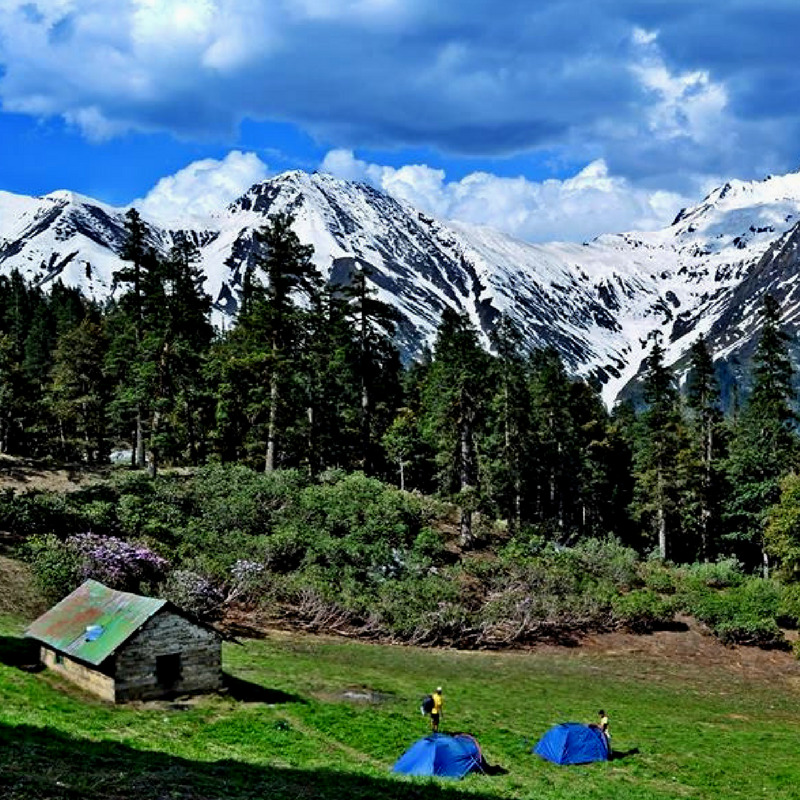
A short, popular and strenuous trek of 5-6 days, entailing steep ascent/descents of hundreds of meters every day, even after crossing the pass. Generally open after the first week of June, the passage becomes easier between 20 August and 30 September, when there is less snow. Cave shelters and rest houses en route; a small group (4 to 6 persons) need not carry tents. The path is well defined all the way and a porter or guide is not necessary but could be helpful. Combining this crossing with a return over the Minkiani Pass makes an ideal circular tour of about 10 days.

Duration: 5 Days
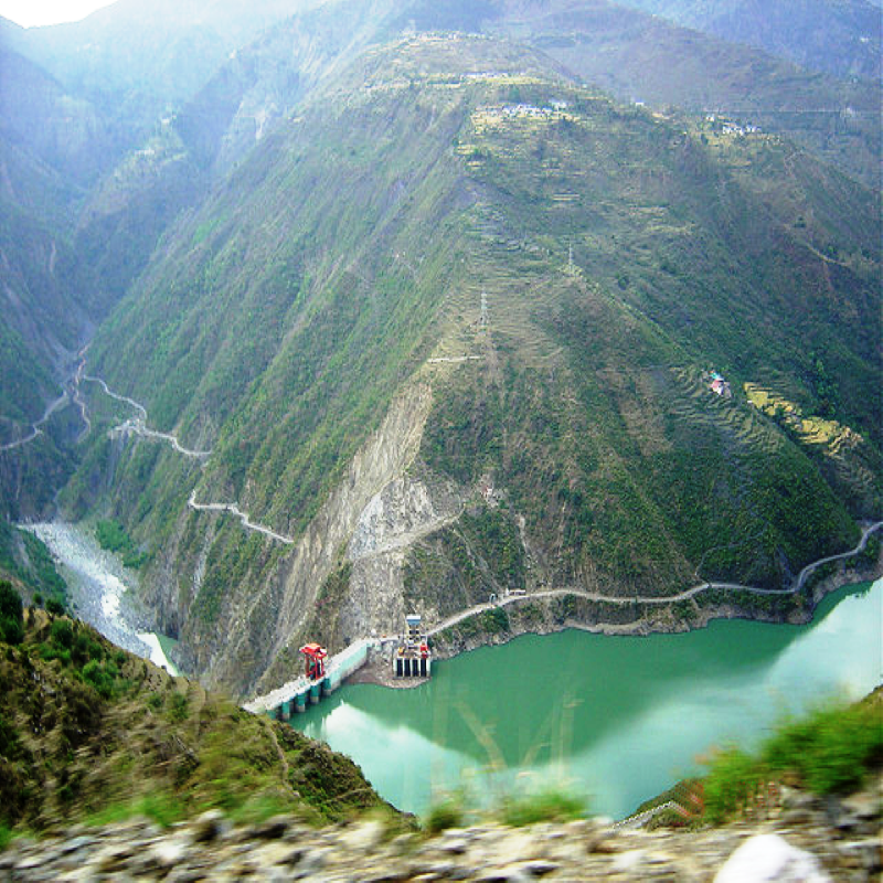
All the treks of Leh is connected by 'air' with Delhi, Chandigarh, Jammu and Srinagar to the west and from Manali to the South.
Best time to Visit: June to September.

ITINERARY

Day 01:

  • McLeodgunj-Triund (2750m) 9Km - Contact the Mountaineering Institute for an experienced guide or porter. Buy provisions for at least four days. As this region experiences the second highest rainfall in India, proper waterproof sheets or raincoats should be carried. From the bus stand, head upwards towards the mountaineering Institute, then over a road paved with stones (somewhat similar to ancient Roman roads) for about 30 min then turn right. At first rising gently, then steeply through thick rhododendron and pine frests, the trail reaches a rich crest and the Triund forest; panoramic view of the Kangra Valley plains on one side and of the majestic Dhauladhar behind.

  • Day 02:

  • Triund-Laka Got (3350m) 6Km - Take the trail heading upwards and left of the camp. It is seen climbing gradually with a few ups and downs. After 2h reach a small settlement of stone huts. Now turn right, facing the Dhauladhar, and go down gradually to Laka Got where a few Gaddi shepherds and fellow travelers can usually be seen ensconced beside Laka Glacier. Continue for 1Km to reach a cave shelter called Lahesh, at the edge of the glacier; not exactly a cave but a huge boulder resting on a big flat rock at an angle at one end while the other edge rests on the ground. A karri or foam mat spread on the floor makes it a comfortable shelter.
  • Day 03:

  • Laka Got-Laka Pass-Chhata (3380m) 8Km - The ascent to the pass is over steep snow, so a stick or ice axe should be carried. Start early in the morning. A few shepherds may be seen going up with flocks of sheep; follow in their steps. This 4Km stretch over frozen snow and boulders may take as long as6-9h in poor conditions. From te top (4350m) a clear view of the Pir Pajal Range is obtained. (If there is time and you have an experienced guide, visit the Chanderkup Lake situated about 4Km NW of the pass). Descent on the other side to Chhata camp ground is gradual; good cave shelter and a transient log hut.

  • Day 04:

  • Chhata-Kuarsi (2440m) 14Km - The trail goes down moderately then steeply towards a stream for 1h, crosses it, and climbs strenuously for 3h through thick forest to reach a ridge crest. Then downhill for about 2h to Kuarsi, a typical Gaddi village. Accommodation in the premises of a local temple or in the camps.

  • Day 05:

  • Kuarsi-Jhanauta-Machhetar (1900m) 17Km - Go down steeply for 1h to the Kuarsi Nala then climb steeply for 3h to a point on a ridge called Sai Jot; no water in this stage until coming to a natural spring situated on the right side of the crest. Now go down gently through pine woods and fields to Jhanauta. This big village has a Forest Inspection Bunglow and a few eating shops. After another steep descent of 4Km reach Machhetar, a growing village with a few eating shops; a road connects it with Kharamukh. From here either take a bus to Chamba, or cross the Ravi river over a bridge and traverse the opposite ridge to reach Brahmaur in 4h.

  • Important Facts of Darcha Padum Trek

    Duration : Maximum - 10 Days
    Degree of Difficulty : 4 - Moderate to Rigorous.
    How to Reach : Daily flights from Delhi to Bhunter near Kullu. From Manali, a seven hour drive over to the Rohtang pass to Darcha.
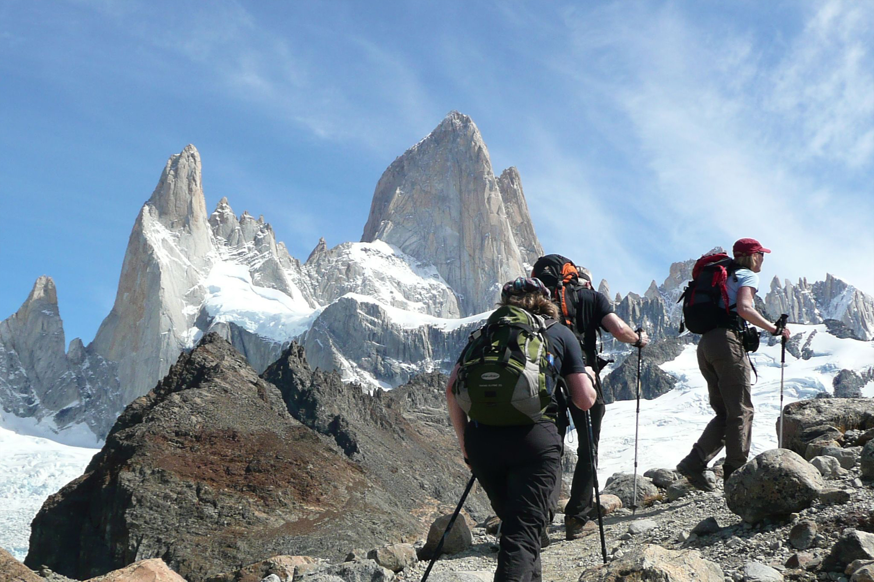
    Cross the pass (13,000ft / 3,962 m) on foot. Buses and taxis are available for the rest of the Journey. In September, early snows could make the crossing of the Shinkun La into Zanskar difficult. Also, the road into Padum over the Pensi La could get blocked.Altitude Maximum height is 16,700 ft / 5,100m on the Shinkun La. Most of the walking is between 10,000 ft and 12,000 ft / 3,000 m and 3,650 m.
    Highlights of Treks : Monasteries at Pukhtal, Mune, and Bardun. Good views of Gumbarojan Peak.
    Support Services : Mules and ponies available through the advanced requirements, but not available on arrival. A tent is a must; guest houses only in a few places.
    Emergency : Reasonable medical facilities in Leh, especially in the army hospital, including high altitude rescue facilities. Radio contact only at Padum. Only basic medical facilities at Padum.