ITINERARY
Day 01: Kathmando – Paro
Fly from Kathmandu to Paro (2400 meter / 7992 ft) on Druk Air. . On arrival you will be received by our representative, and then drive you to your hotel. Overnight at Hotel Druk.
Day 02: Sightseeing in Paro
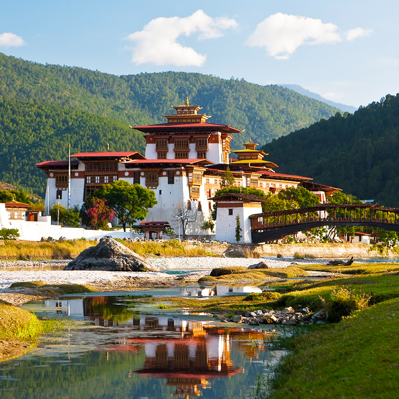
After breakfast, visit the National Museum (Ta Dzong), Paro Rimpung Dzong, Kyichu Temple and other places of interest. Overnight at hotel.
Day 03: Drukgyal Dzong – Shana Zampa, 17Kms, 5-6 hours
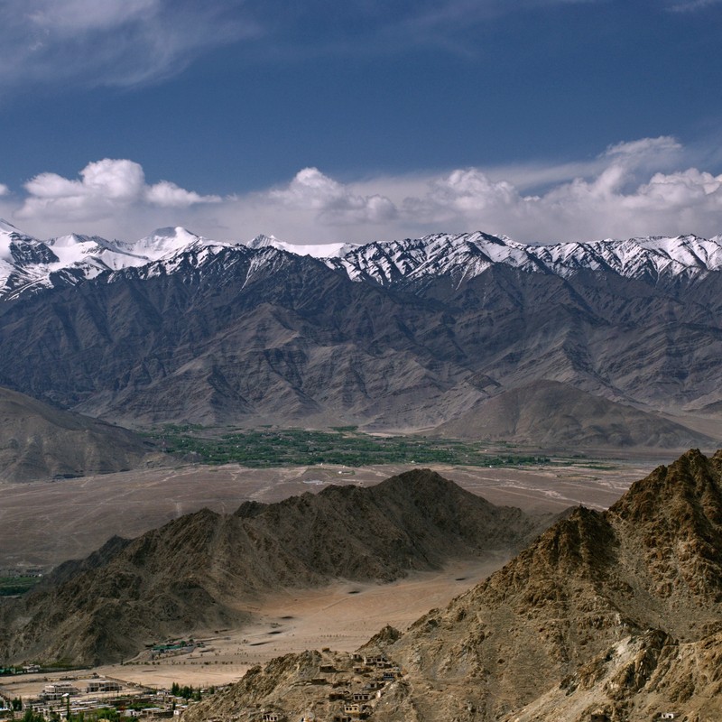
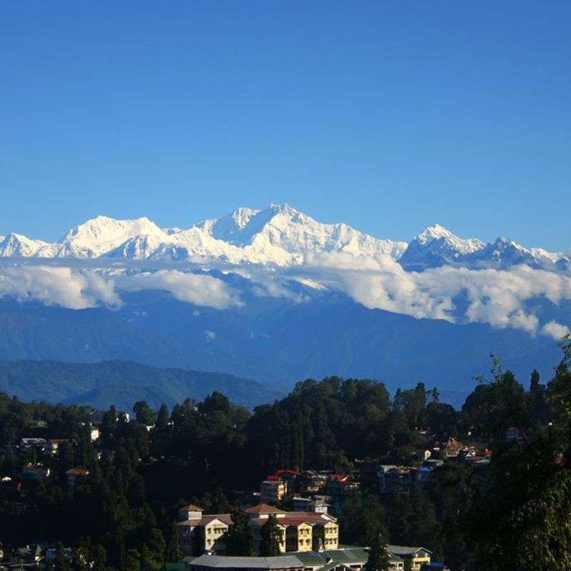
After early breakfast we will drive to the ruins of Drukgyal Dzong (2,580m / 8,591 ft) 16 Kms from Paro town. Explore the ramparts, village and on a clear day experience the spectacular view of Mt. Chomolhari (7,314 m / 23990ft). The trek starts from here Your overnight camp will be at Shana Zampa, Alt 2,870 m /9,557 ft, Overnight at camp.
Day 04: Shana Zampa – Thangthangkha, 22 Kms, 6-7 hours
The trail continues its gradual climb alongside the Paro Chhu through conifers and rhododendron entering into Jigme Dorji National Park. Your camp for tonight will be at Thangthangkha, elevation 3,630 m /12,088 ft.
Day 05: Thangthangkha – Jangothang, 5-6 hours
This is not a long day, but there is 450 m /1,498 ft elevation gain, and you will be comfortably worn out when you reach camp. Your camp will be at Jangothang, Chomolhari base camp, alt. 4,090 m /13,415 ft.
Day 06: Jangothang
A day halt & exploration in Jangothang.Trek up to Tsophu Lake for trout fishing or there is stupendous day-hike in three directions-Chomolhari and its subsidiary is directly west, Jichu Drake to the north, un-climbed summits and ridges to the east.
Day 07 : Jangothang – Lingshi, 18 Kms, 5-6 hours
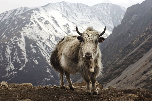
Wide Yak pastures on the way up and down the pass, great views of Lingshi Dzong as you come down into the Lingshi basin. If the weather is clear Mt. Tserim Gang (6789m / 22268ft) and it's descending glaciers at the north end of the valley can be vividly seen. Today, the highest point you will be crossing is the Nyile La Pass, alt. 4890m/16050ft). The camp is at 4010 m / 13,153 ft, near a large stone community hall that is used by both Bhutanese travelers and trekking groups.
Day 08 : Lingshi
Halt at Lingshi. Today, you make an excursion to a lake near Tserim Kang base camp. During the hike, you will encounter blue sheep and musk deer. It is very important that you rest as much as you could for the following strenuous trek day.
Day 09 : Lingshi - Shodu, 22 Kms, 8-9 hours
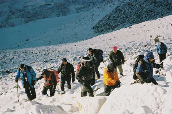
Today you have to start early because it is tiring and long journey. It is two minimum of two hours of steep climb to Yeli La pass (4,820 m / 16,051 ft. From the pass, on a clear day, you can see Mt. Chomolhari, Mt. Gangchenta , Mt. Tserim Kang and Masang Kang. Descend along side a stream to a shelter, then further downstream to your camp at Shodu (4110 m /13,481ft.), a meadow with a Chorten.
Day 10 : Shodu - Barshong, 16 Kms, 5-6 hours
The trail winds up and down gently, along the Thimphu Chhu through a steep walled canyon with cliffs to the north and a cypress forest to the south. The route crosses the river six times on bridges built of huge logs, eventually ending up on the left bank. It makes a gradual climb for one hour to Barshong, where there is community hall and the ruins of a small Dzong. The designated camp is just below the ruins at 3680 m / 12,254 ft.
Day 11 : Barshong – Dolam Kencho, 15 Kms, 5-6 hours
The trail descends gently through a dense forest of rhododendron, birch and conifers, then drops steeply to meet the Thimphu Chhu. It stays on river left, climbing over ridges and descending to side streams. It traverses steep cliffs to Dolam Kencho, a camp among pastureland at 3430 m / 11,422 ft.
Day 12 : Dolam Kencho – Thimphu, 8 Kms, 3 hours
The trail goes in and out of side valleys above the Thimphu Chhu, making a long ascent through a forest of conifers and high altitude broadleaf species to a pass at 3510 m / 11,688 ft. The trail then drops steeply to the river and follows it southward to the road head at Dodina, elevation 2600 m /8,658 ft, just opposite the bridge that leads to Cheri Gompa. Drive to Thimphu 2500m /8200 ft. Overnight at hotel.
Day 13 : Sightseeing in Thimphu
The day begins with visits to the Memorial Chorten, Dupthop Lhakhang ( Monastery for the nuns), National Library, painting school, Indigenous Hospital, Royal traditional silver smiths, Bhutanese traditional paper factory and other places of interest. Evening Drive to Paro. Overnight at hotel.
Day 14 : Thimphu-Paro
In the morning you will witness the Folk and Mask Dance performed by the Royal Dance Academy. Lunch at Druk Hotel. After lunch, drive to Paro. O/N in Paro.
Day 15 : Paro- Kathmandu
After breakfast, you are free as your own before your departure to Kathmandu.


