Trekking in Ladakh- Padum-Lamayuru Trek|

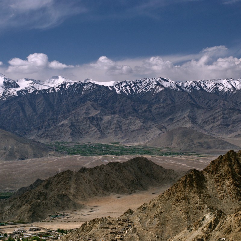
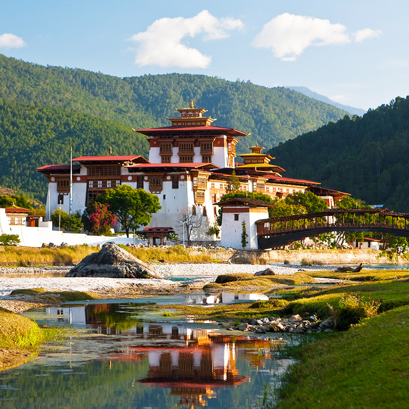
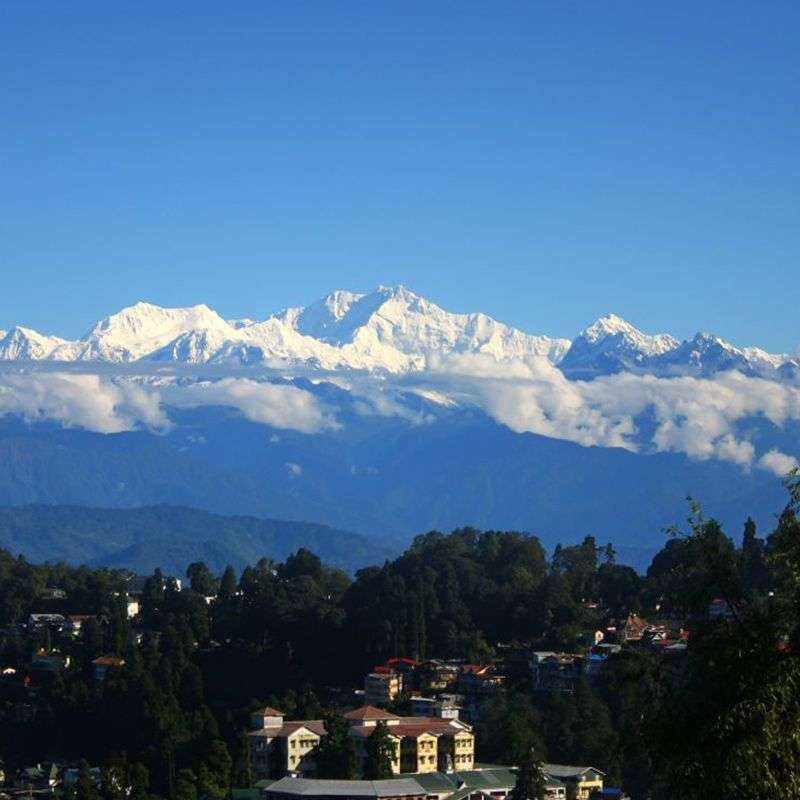
North of the Great Himalayan range, amongst a tangled knot of jagged mountains, lies a rugged and fascinating land, the once independent kingdom of Zanskar. Sandwiched between the Indus Valley and the main crest of the Indian Himalaya, this remote and inaccessible setting, well guarded by snowy mountain passes, has kept alive an archaic form of Tibetan Buddhism which flourishes in chain of far-flung monasteries, most of which occupy spectacular fortified locations, high on rocky ridges in isolated valleys. Lovely high meadow camp sites and dry desert land, high passes and snow-capped peaks stunning scenery, Buddhist monasteries and picturesque villages with their irrigated fields of barley and potatoes, and fascinating encounters with the Zanskari people turn a trek in this area into an unforgettable experience.

Duration: 11 Days
Best Trekking Season: - June to September.
In June, Pensi La may not be open to vehicular traffic. Cross the pass (13,500 ft / 4,115 m) by foot and walk to Padum (three days) In September, early snows could again block the Pensi La. Otherwise, this pass is open up to mid-end-October.

ITINERARY

Day 01:

  • Leisurely two-hour walk takes you to Karsha village at the foot of the largest and probably the grandest monastey on an awe-inspiring setting of cliffs. Before climbing to the main building, a visit to the main building, a visit to the nearby Avalokiteswara temple is a must. Situated beneath the ruins of a fort, the Chukshik-jal temple is now a part of a 500-Year-Old nunnery. Its main statue of the eleven-headed deity is framed by monsters and a winged garuda (a mythological Indian bird). Carved out on a chorten are the terracotta statues of Buddha and Maitreya with typically greek curley hair and straight noses. Another chapel, at the foot of the Karsha monastery is built around a fascinating fifteen-foot standing figure of Maitreya carved in the rock face. A fearsome figure of Dorje-Jigchet or Vajra-Bhairva, a demonical from of the Buddha, is the highlight of the hall. Sporting hundreds of arms and adorned with terrifying faces, the deity manifests the influence of Tantric practices on Tibetan Buddhism.

  • Day 02:

  • The trail moves on flat dusty plains and in three hours, you reach Rinam village. On the way, the Doda meets the Tsarap Lingti to form the Zanskar river. In winter, this river freezes up to provide an optional way to Padum on frozen ice. It is known as the chadar or 'sheet route'.
  • Day 03:

  • From Pishu, a day-long detour can be taken to Zangla, the ancient capital of Zanskar, across the main river. Zangla was a kingdom of four villages enjoying autonomy within the buffer state of Zanskar. It became a separate state in the fifteen century. Zangla is an oasis surrounded by desolate mountains - a recreation of the fabled Shangri-La. The importing fortress of Zangla is now derelict and a neglected chapel inside houses a statue of Tsong Khapa, the Gelug-pa founder. The palace where the royal family still lives has another chapel with a library full of scriptures. There is also an old nunnery. Follow the Zanskar downstream. The walk goes past sand castles on the sides.

  • Day 04:

  • Within forty-five minutes, execute your first river crossing. For another one and a half hours, the trail follows the Zanskar river, climbing gradually, but punctuated by a few step sections. The first series of switch banks leads to the top of a hump from where the pass is visible. The trail moves on a long traverse followed by another series of switch banks to reach the top of the Parfi La (12,960 ft / 3,950 m). A fifteen-minute scramble up the ridge on which the pass is located leads to the edge from where the Zanskar is visible as it meanders through deep gorges - a terrific view, one of your last of the river on the trek. The trail leaves the river two traverse the mountain and finally enters a wooded valley teeming with willows and poplars. A short climb away is the campsite of Snertse. A thirty-minute walk from the camp on a high pasture takes you to a spot from where, looking almost 1,500 ft down, you can see the Zinchan river snaking its way through the valley to be sucked in by the mighty Zanskar. Right across is the Parfi La and all around are big bare mountains, some capped with snow. As the shadows lengthen the mountains.

  • Day 05 & 06:

  • The trail undulates on a steep path for almost three hours in an enclosed valley. The las hour to the Haluma La (16,400ft / 5,000m) is a straight climb up the valley's right. A chorten and prayer flags mark the top. In the distance, you can see Lingshet and its gompa, the destination that day. The trail is clear as it climbs up and down two smaller ridges. Nun and Kun peaks are also visible. After an hour's descent, the trail climbs up again to the top of the first ridge. Lingshet is one of the most popular monasteries of Zanskar and its main prayer hall houses statues of Buddha.

  • Day 07:

  • The trail climbs up and takes an hour and a half to the top of a small pass, Nietukse La (13,800 ft / 4,206m.). An easy descent followed by a traverse takes you past Yongma Village and down to a stream below Gongma village in an hour. In another hour, on switch backs from the stream, reach the Kupa La. In two hours more, you reach the baseof Singi La that is to be crossed the next day. The campsite of Gazo is next to small stream.
  • Day 08 :

  • A two hour climb takes you atop Singi La (16,200 ft / 4,940m) and the valley in between. A short descent takes you down to the upper Yapola valley and then the trail gently follows the river downstream. The trail goes across the Yapola and a short climb into a side stream takes you to a chorten and a mane wall in two hours. Crossing this side stream over rocks, followed by a traverse leaving the Yapola belowm the trail reaches the crest of the Bhumtse La in two and a half hours.

  • Day 09 :

  • A thirty-minute climb takes you to a chorten where the trail turns to the right and the seemingly formidable ridge of Sirsir La rises up. A short step descent takes you to the valley on the right. Go down to the stream below and cross over a small Bridge on the spang Nala. It takes an hour to reach the bridge from the pass. Following the Spang on its left bank for two hours, you reach the valley campsite just above Hanupatta village.
  • Day 10 :

  • In an hour you reach Hanupatta set against the backdrop of a sheer rock face. The trail goes down to the stream and then undulates all along the river. Soon it enters a gorge and after an hour you reach its confluence with the Yapola flowing down from Photksar. The trail now follows the yapola downstream, staying on its left bank. There are three bridges that finally bring the trail on to the bank. The valley opens up and the trail reaches Fanji La. In two hours, you reach Wanla village. This is the lowest point on the trek and the heat comes searing up from the path. The prominent landmark of Wanla is its ochre monastery. There is a dirt road leading out of the village and joining Khltse on the main Kargil-Leh highway. But taking that route would mean missingout on Lamayuru. For inspiration there is a large supply of beer in the village.
  • Day 11 :

  • You can visit the Wanla monastery before hitting the trail to Lamayuru. It is one thousand years old. The main prayer hall houses an impressive two storeyed statue of the four-headed Awalokiteswara flanked by two equally large ones of Maitreya. The wall paintings are faded and in great need of restoration. The room is shaped like a three-tiered mandala. Despite the proximity of the Lamayuru gompa, Wanla is interesting in its own right. Leaving Wanla, a thirty-minute walk takes you to the fertile valley below. Lamayuru (11,285 ft / 3,440m) surprise you with its mammoth proportions. You have reached your destination as have many generations of scholars, enunciates and ascetics, centuries before you.
  • Important Facts of Darcha Padum Trek

    Duration : Maximum - 11 Days
    Degree of Difficulty : 5 - Moderate to Rigorous.
    How to Reach : All the treks of Leh is connected by 'air' with Delhi, Chandigarh, Jammu and Srinagar to the west and from Manali to the South. If coming Srinagar or Leh, leave the road at Kargil for a long Day's Drive over the Pensi La (open from early July) to Padum. Also walk from Darcha to Padum.
    Altitude : The heights of the high passes are Haluma La (16,400 ft / 5,000 m) Singi La (16,600 ft / 5,060 m); Sir La (16,200 ft / 4,940 m). Most walking is between 11,000 ft and 13,000 ft or 3,350 m and 4,000 m.
    Highlights of Treks : Monasteries at Karsha, Lingshet, and Lamayuru. Great trans-Himalayan views from the top of the Sirsir La.
    Support Services : Pack mules and ponies available through the advanced requirements, but not available on arrival. Food and lodging at Padum, Karsha, Lingshet gompa, Wanla, and Lamayuru.
    Emergency : Reasonable medical facilities in Leh, especially in the army hospital, including high altitude rescue facilities. Radio contact only at Padum. Only basic medical facilities at Padum.